Blair Parks & Trails Master Planning
Blair, NE
Blair has several small parks, large community parks, special use parks, and a riverfront park on the Missouri River. The city also has several trails throughout town. Big Muddy and its architectural sub-consultant were selected to develop a master plan for the community’s parks and update its city trail master plan.
The planning process began with an inventory of each park to document existing features and facilities, and development of an opportunities and constraints analysis. School yards were also evaluated for their recreational opportunities. Service areas for the different types of parks were documented. Findings were presented at stakeholder meetings and public meetings to gather ideas and opinions about the parks.
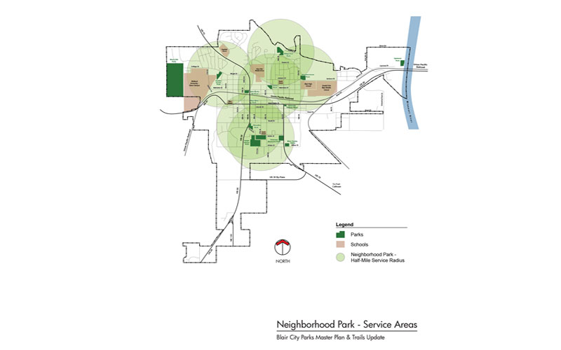

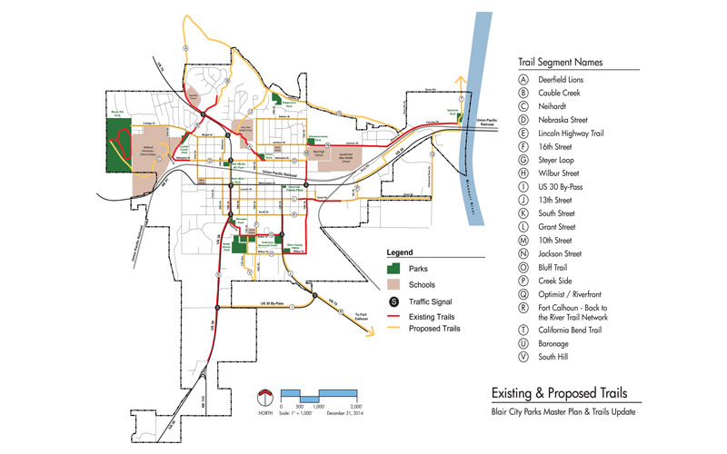
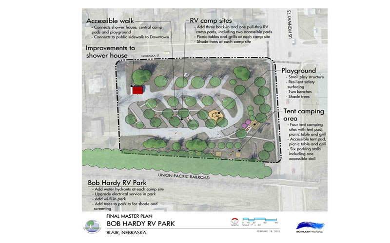
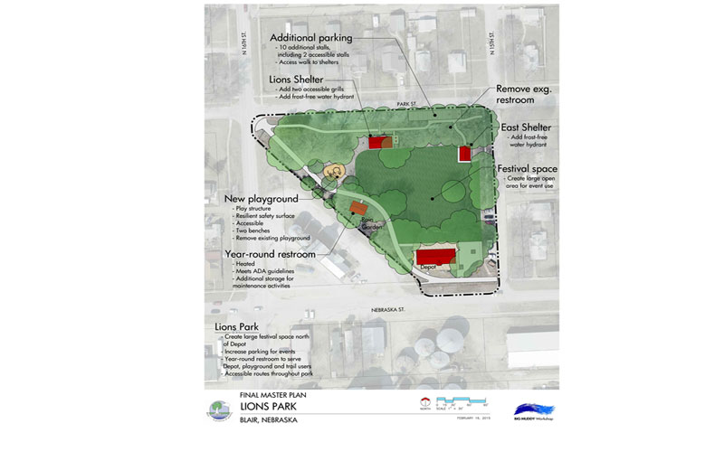
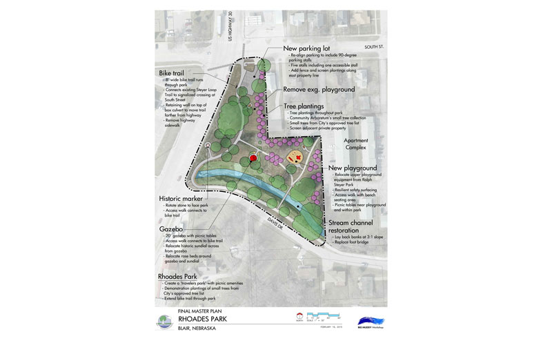
A written summary was developed for each park, which includes a description of the park, its type and size, opportunities, constraints, recommended improvements, cost of improvements, and a master plan drawing. Non-city owned recreational facilities, sports organizations, and local tournaments were evaluated for their role in providing outdoor recreation opportunities, and existing and future community sports fields usage was considered. Recommendations for future needs for parkland were made, based on the growth anticipated in the city’s comprehensive plan.
Implementation priorities were developed by members of the Project Planning Team and several key stakeholder groups, based on which projects would most benefit the community. The recommendations included major improvements to the community’s showcase park and city-wide replacement of existing playgrounds with ADA compliant equipment. The team felt most recommendations in the master plan could be completed within 10 years.
The Trails Master Plan Update looked at six existing and two planned trails. The existing trails were evaluated, and improvements and connections to close gaps were proposed. After meetings with stakeholders and at public meetings, refinements to the City’s original trail master plan were proposed and opportunities for off-street and on-street trails were identified. The main preferences in the community were for wider existing trails and having trails connect all city parks together, forming a continuous system.